Choose Which Site You Want To See


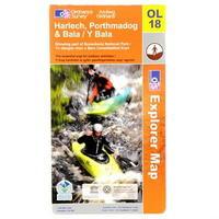
Ordnance Survey Survey Harlech, Porthmadog And Bala Map: Ordnance Survey Harlech, Porthmadog and Bala Map > Showing part of Snowdonia National Park -
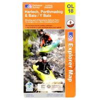
Ordnance Survey Survey Harlech, Porthmadog And Bala Map: Ordnance Survey Harlech, Porthmadog and Bala Map > Showing part of Snowdonia National Park -
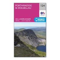
Ordnance Survey Landranger 124 Porthmadog & Dolgellau Map With Digital Version, Orange: The OS Landranger Map is the ideal map for planning the perfect day out. This best known national map series provides...

Ordnance Survey Landranger 124 Porthmadog & Dolgellau Map With Digital Version, Orange: The OS Landranger Map is the ideal map for planning the perfect day out. This best known national map series provides...

Ordnance Survey Landranger 124 Porthmadog & Dolgellau Map With Digital Version - Orange, Orange: This map comes with a digital version which you can download to your smartphone or tablet. Go to OS.uk/redeem for more...

Ordnance Survey Landranger 124 Porthmadog & Dolgellau Map With Digital Version - Orange, Orange: This map comes with a digital version which you can download to your smartphone or tablet. Go to OS.uk/redeem for more...

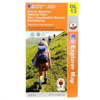
Ordnance Survey Survey Brecon Beacons Western Map: Ordnance Survey Brecon Beacons Western Map > Brecon Beacons Natinal park western areas map > The Essesntial map for...
Ordnance Survey Survey Brecon Beacons Eastern Map: Ordnance Survey Brecon Beacons Eastern Map > Brecon Beacons national park/ Parc Cenedlaethol Bannau Brycheiniog >...
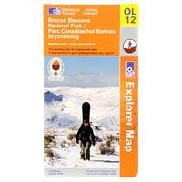
Ordnance Survey Survey Brecon Beacons Western Map: Ordnance Survey Brecon Beacons Western Map > Brecon Beacons Natinal park western areas map > The Essesntial map for...

Ordnance Survey Survey Brecon Beacons Eastern Map: Ordnance Survey Brecon Beacons Eastern Map > Brecon Beacons national park/ Parc Cenedlaethol Bannau Brycheiniog >...
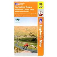
Ordnance Survey Survey Yorkshire Dales Map: Ordnance Survey Yorkshire Dales Map > Northern and Central areas Wensleydale and Swaledale -
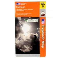
Ordnance Survey Survey Exmoor Map: Ordnance Survey Exmoor Map >1:25 000 (4 cm to 1 km, 2½ inches to 1 mile) >1270 x 952 mm (134 x 227 mm folded)...

Ordnance Survey Survey Glen Coe Map: Ordnance Survey Glen Coe Map > Glen coe and Glen etive Ballachulish and kinlochleven > Showing part of the West...
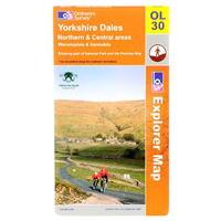
Ordnance Survey Survey Yorkshire Dales Map: Ordnance Survey Yorkshire Dales Map > Northern and Central areas Wensleydale and Swaledale -
Ordnance Survey Survey Glen Coe Map: Ordnance Survey Glen Coe Map > Glen coe and Glen etive Ballachulish and kinlochleven > Showing part of the West...
Ordnance Survey Landranger 90 Penrith And Keswick Map Book - Colour: 90: Ordnance Survey LandRanger Map 90 Penrith And Keswick
Ordnance Survey Landranger 109 Manchester And Bolton Map Book - Colour: 109: Landranger 109 Manchester and Bolton Map Book

Ordnance Survey Landranger 85 Carlisle And Solway Map Book - Colour: 85: Landranger 85 Carlisle And Solway Map Book

Ordnance Survey Landranger 100 Malton And Pickering Map Book - Colour: 100: Landranger 100 Malton and Pickering Map Book
Ordnance Survey Landranger 135 Aberrystwyth And Machynll Map Book - Colour: 135: Landranger 135 Aberrystwyth and Machynll Map Book
